The West River watershed is situated in the southeastern portion of Anne Arundel County. Boaters
find the array of marinas and marine services helpful and enjoy boating and dining at the riverside restaurants or stretching their legs in the small town of Galesville.
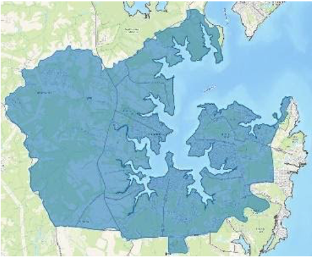
The drainage area of the West River watershed is approximately 7,809 acres. It includes the communities of Galesville, Chalk Point, Cedarlea, Avalon Shores, and Shady Side. Smithsonian Environmental Research Center is located on its northeast border. West River Sailing Club and West River United Methodist Center can also be found along its shores.
Land covered with woods makes up the greatest portion of the West River watershed, approximately 44%. Apart from woods, the other most significant land use/land cover categories are row crop and residential.
Impervious surfaces represented by roads, building footprints, parking lots and other hard surfaces cover approximately 6% (~492 acres) of the West River watershed.